What we do

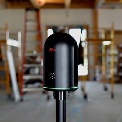
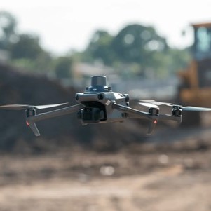
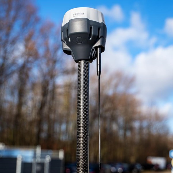
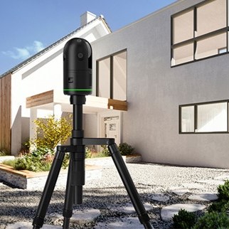
Landmark uses drone and laser scanning technology to conduct high-resolution aerial surveying and mapping services for Malta and Gozo. Our drone fleet is equipped with high- resolution cameras and surveying equipment that can capture geodata with precision down to 1 centimeter accuracy. The data and maps we produce will be essential for planning and development in the construction, engineering and environmental sectors.

Speed

Automated surveying with drone and laser scanning equipment are significantly faster than traditional surveying which relies on physically accessing locations and capturing data with handheld tools. Our drones can capture data for an entire property in a single flight, and we use automated processes to transform that data into detailed 3D models and reports within 24-48 hours.

Safety

Using drones eliminates the need to access hazardous areas or difficult to reach locations, ensuring the safety of our surveyors. Drones can capture data from any angle or elevation without putting personnel at risk.

Cost-Effectiveness

Drone and laser scanning surveying requires less manpower and time than traditional surveying, allowing us to provide high quality surveying at lower cost. We pass these savings on to our clients.

Detail and Precision:

Our equipment use high resolution cameras and Lidar technology to capture survey data with centimeter-level accuracy, allowing us to identify even small details and changes. This high level of precision results in extremely detailed and accurate survey reports and 3D models.

About Landmark LMS

Since our founding, Landmark Land & Marine Surveying has been known for quality services, exceptional efficiency and the highest level of professionalism. Our team is up for every job, managing projects with the skill and experience our clients have come to expect. We are an innovative company focused on providing high-precision drone surveying and 3D laser scanning services to businesses across industries. What sets us apart is our dedication to precision, safety and customer service. Our drone surveys and 3D laser scans are designed to exacting specifications to provide data with pinpoint accuracy. We follow stringent safety and compliance protocols to ensure safe, responsible and legal operations. And we are committed to providing an exceptional customer experience built on clear communication, reliability and value. Landmark is ready to provide drone surveying and laser scanning services for projects of all scopes and sizes across Malta and Gozo. We are confident in our ability to deliver data that meets and exceeds the needs of our clients.

HOW DOES IT WORK

1. Contact Us: Give us a call or send a message to discuss your project.
2. On-Site Survey: Once we understand your requirements, we'll bring the appropriate equipment and conduct the survey immediately for projects as large as a house or apartment block.
3. Receive a Quote: We'll provide a detailed quote based on the time spent on-site and the necessary post-processing (such as plans, elevations, sections, 3D models, etc.).
4. Start the Project: If you're happy with the quote, a 50% deposit kicks off the work. Typically, we deliver all the required information within a week.
5. Final Delivery: After reviewing the results, you pay the remaining balance, and we provide you with all the finalized data. Simple as that!